
A weather disturbance outside the Philippine Area of Responsibility (PAR) intensified into a tropical storm on Friday evening, according to the Philippine Atmospheric, Geophysical and Astronomical Services Administration (PAGASA).
Storm Details and Movement
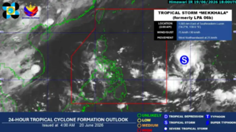
As of the latest PAGASA weather bulletin, the center of the tropical storm was located 1,665 kilometers east of Southeastern Luzon, moving west-northwest at 25 kilometers per hour. The storm packs maximum sustained winds of 75 kilometers per hour near the center, with gusts reaching up to 90 kilometers per hour.
PAGASA said the storm will be named “Francisco” once it enters the Philippine Area of Responsibility (PAR), expected by Saturday evening or Sunday morning.

Potential Impact and Warnings
The state weather bureau has not ruled out the possibility of hoisting Tropical Cyclone Wind Signal No. 1 over parts of northern and eastern Northern Luzon, depending on the storm's movement and intensification. PAGASA continues to monitor the storm's progress and advises the public to stay updated on official forecasts.