Philippine Mapping Authority Reaffirms Official Cartographic Standards for West Philippine Sea
The National Mapping and Resource Information Authority (NAMRIA) has issued a definitive statement regarding the cartographic representation of the Philippines' maritime jurisdiction, specifically addressing the naming and boundary delineation of the West Philippine Sea. This clarification comes amid renewed public discourse on the country's maritime sovereignty and territorial integrity.
Official Adoption of "West Philippine Sea" Name Since 2012
In a formal declaration released on Wednesday, February 18, 2026, NAMRIA emphasized that the Philippine government has formally adopted the designation "West Philippine Sea" in all official publications since 2012. The agency stated that this policy is rigorously implemented across its comprehensive suite of mapping products.
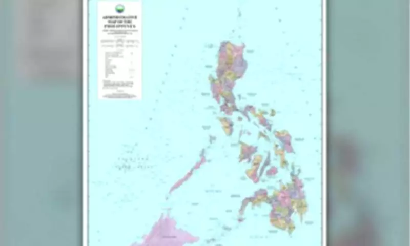
"In accordance with this policy, NAMRIA places the label consistently across its official maps and charts, including administrative maps, topographic maps, thematic maps, and nautical charts used for navigation," the authority confirmed.

These technical documents serve as critical reference materials for a diverse range of users, including mariners, urban planners, academic researchers, and both domestic and international institutions. Their primary functions encompass navigation safety, geographic information dissemination, and maritime operational planning.
Precise Delineation of Exclusive Economic Zone Boundaries
NAMRIA provided detailed technical explanations regarding the representation of the Philippines' Exclusive Economic Zone (EEZ). Under established international law, specifically the United Nations Convention on the Law of the Sea (UNCLOS), the country's EEZ extends up to 200 nautical miles from its archipelagic baselines.
The agency clarified that this creates a continuous curved boundary, analogous to the edge of a circle, rather than a polygon composed of straight lines. Consequently, a simple list of coordinates cannot accurately define the nation's maritime limits.
Instead, the boundary is represented through precise geospatial data derived from the archipelagic baselines defined in Republic Act 9522. This legislation, enacted in March 2009 and amending previous provisions, is the Philippine Archipelagic Baselines Law that aligns the country's maritime territory definitions with UNCLOS standards. This sophisticated data enables navigation systems and mapping software to compute maritime limits with exactitude.
Adherence to International Hydrographic Standards
NAMRIA further asserted that its nautical charts comply with rigorous international hydrographic standards and are utilized by both Philippine and foreign vessels operating within waters under Philippine jurisdiction. These charts are systematically submitted to relevant international technical bodies, including the International Hydrographic Organization.
This process integrates Philippine geographic information into the global maritime record, thereby supporting safe navigation, responsible maritime activities, and international recognition of the country's maritime claims.
Commitment to Accurate Geospatial Information and National Sovereignty
The mapping authority reiterated its unwavering commitment to producing accurate, reliable, and scientifically correct geospatial information. NAMRIA emphasized that its cartographic work upholds multiple national priorities, including maritime sovereignty, navigation safety, disaster preparedness, and sustainable resource management.
Through its internationally compliant maps and charts, the agency continues to fulfill its mandate of providing authoritative geographic data that supports both national interests and global maritime safety standards.